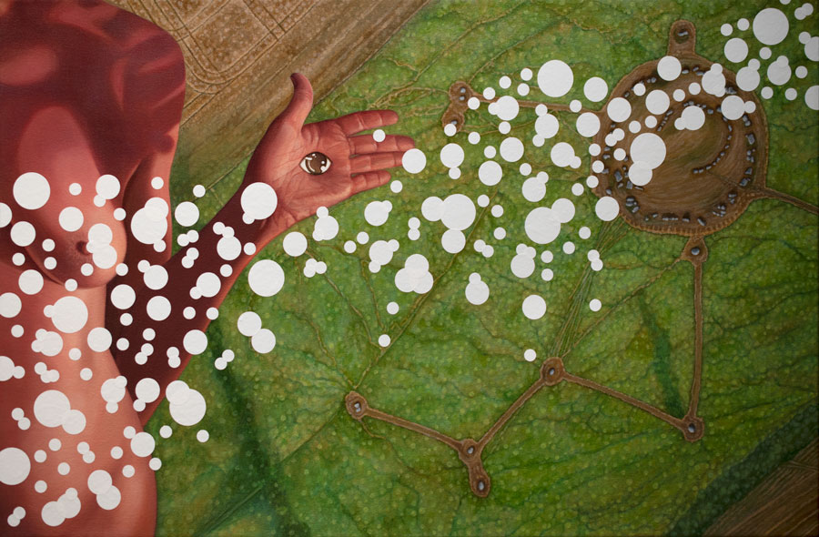
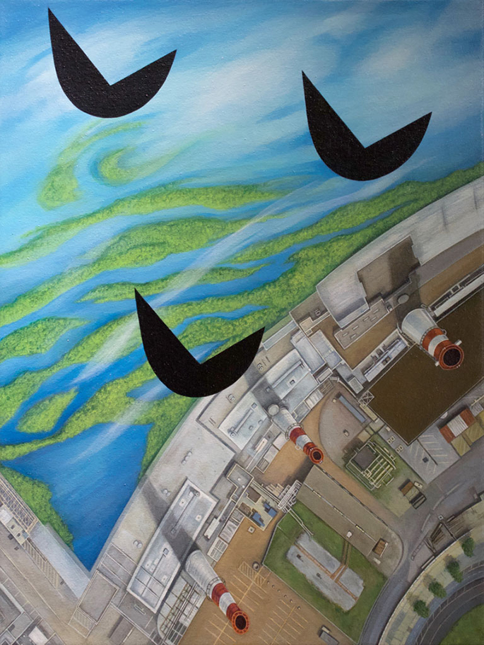
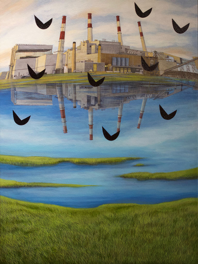
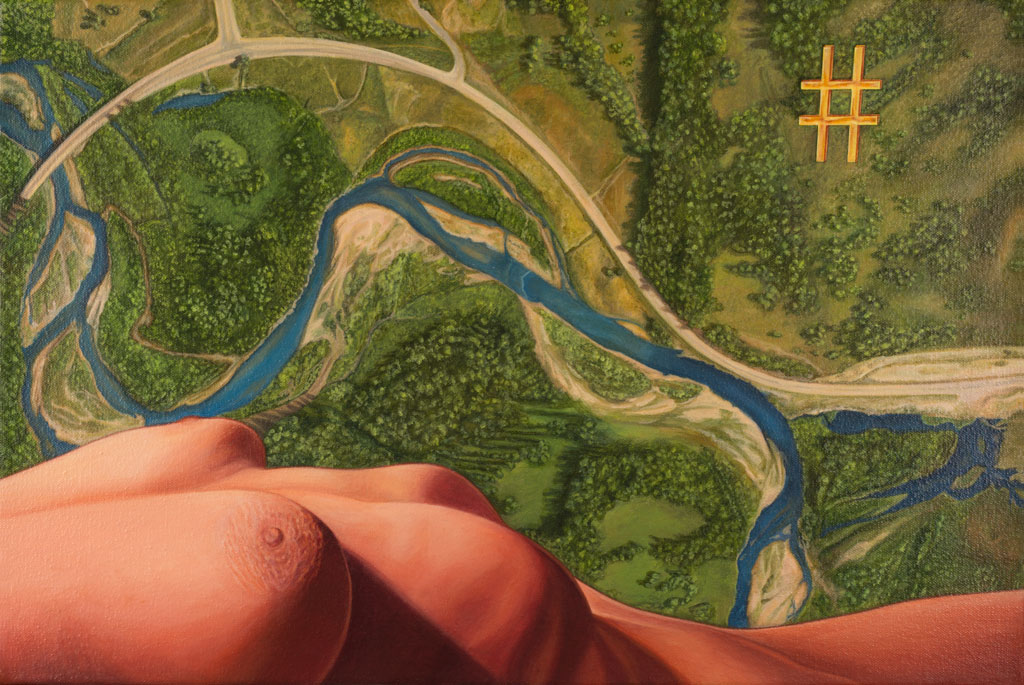
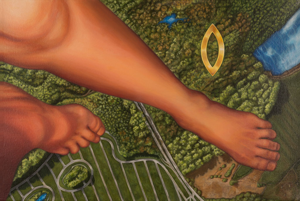
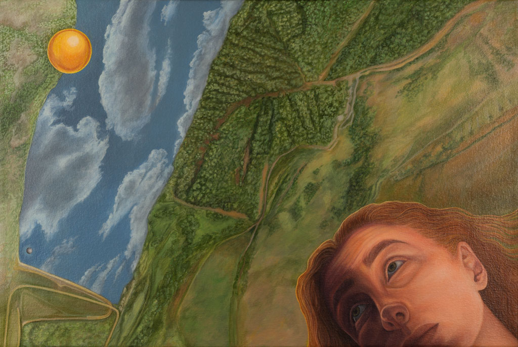
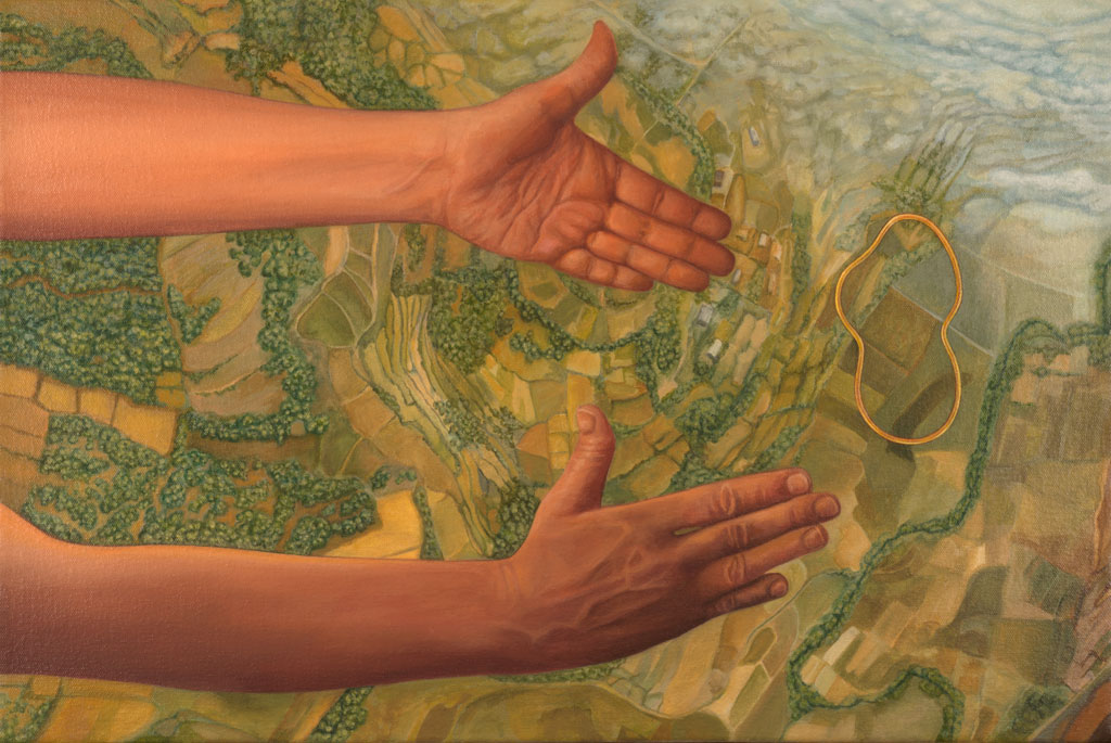
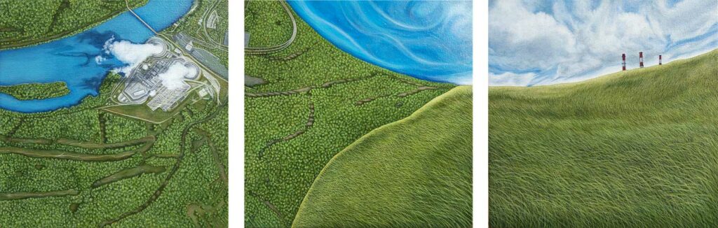
This series appropriates aerial satellite images from different parts of the world, and sometimes combines industrial or figurative elements. See the About page for more details. GALLERY Data Points, 2020; acrylic & mixed media on canvas; 22″x34″ Dissolution #2, 2018; acrylic on canvas; 24”x18″ Dissolution #1, 2018; acrylic on canvas; 24”x18″ Flux, 2017; acrylic on canvas; 12”x36″ Wyoming NW, 2013; acrylic on canvas; 16”x24″ Germany NE, 2013; acrylic on canvas; 16”x24″ Wales NW, 2012; acrylic on canvas; 16”x24″ Madagascar NE, 2012; acrylic on canvas; 16”x24″